Highlights
Description
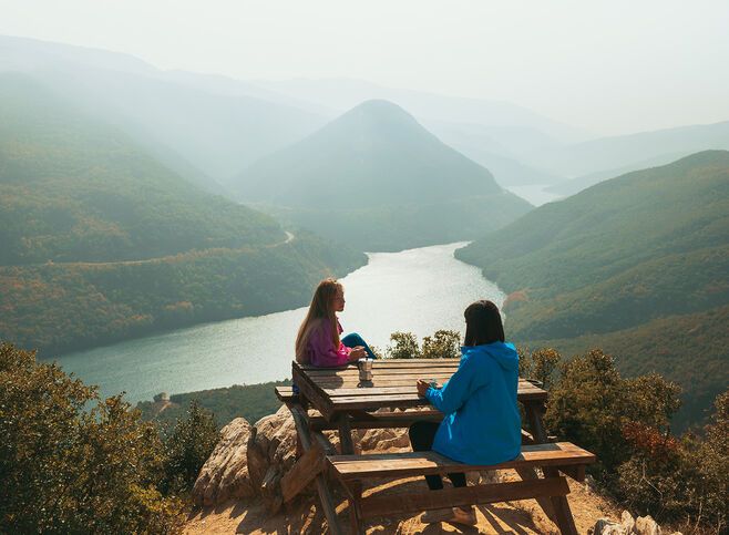
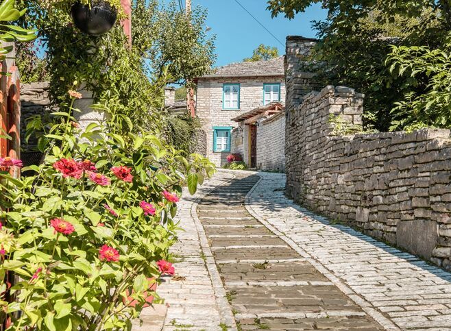
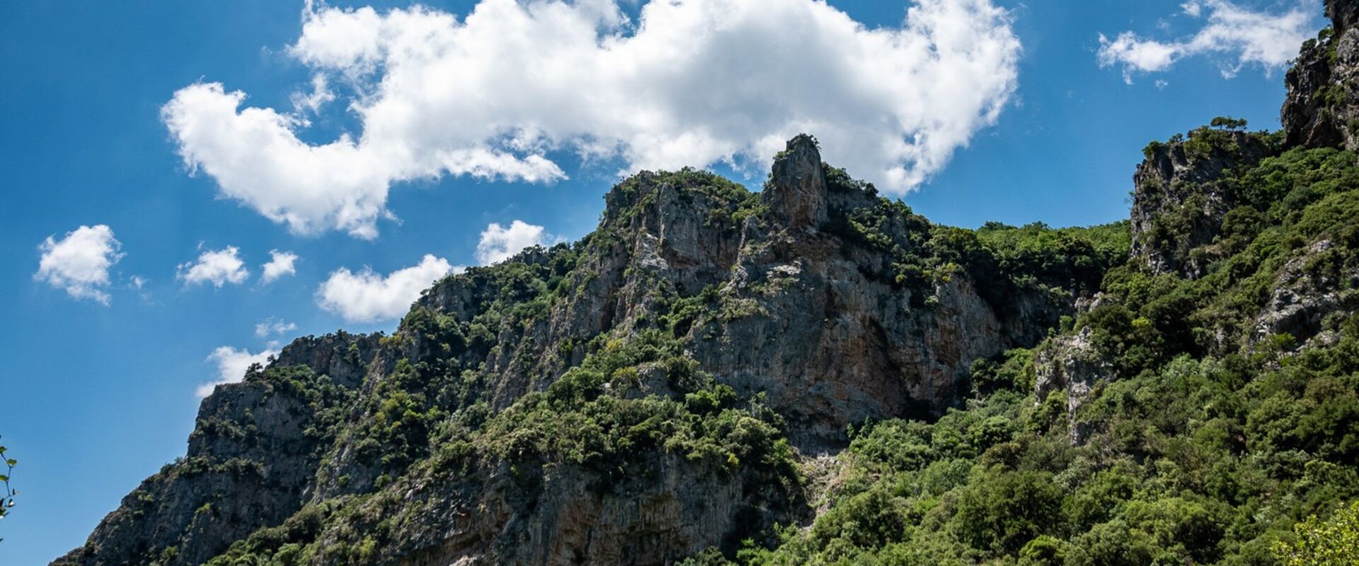
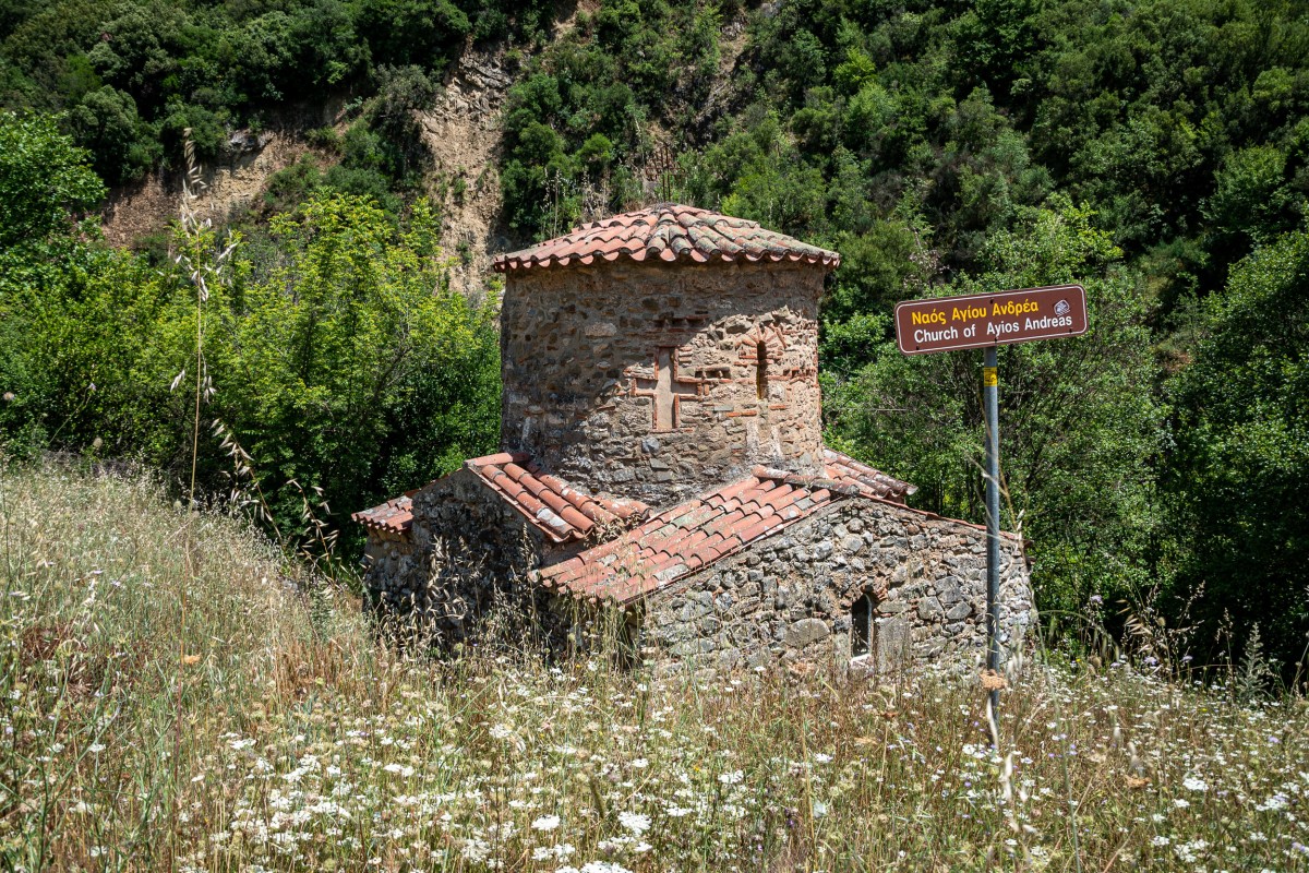
Itinerary
What's included
Additional information
Cancelation Policy
Meeting Point
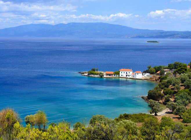
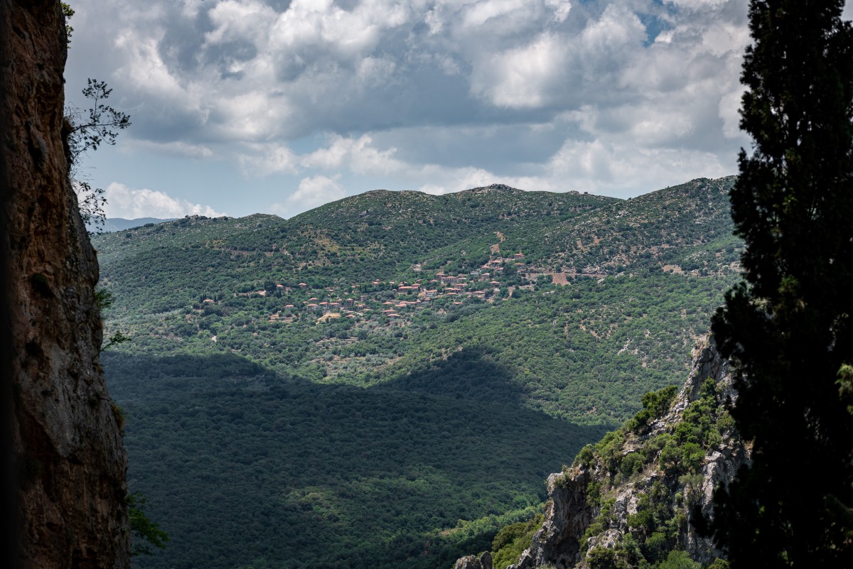
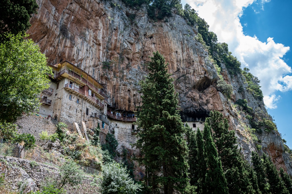
Stemnitsa
Stemnitsa 220 07, Greece
View on map
About the provider

Explore Greece through Trekking Hellas adventure tours and activities.
Reviews About Trekking Hellas
-
30.03.2025Trekking Hellas provided an unforgettable sea kayak experience at Cape Sounion, beneath the stunning Temple of Poseidon. Our guide, Pantelis, was the perfect blend of humor, politeness, and expertise. His...
-
05.07.2021By far the best and most professional adventure tour operator in Greece. They have committed to provide quality services and most of all safety for any adventurous trip you're planning....
-
26.07.2022Wonderful experience! I ended up being the only person booked for the evening sea Kayaking tour to the Temple of Poseidon. At first I thought it would be weird being...
-
09.11.2025Just Perfection!!! Great Team, Super Professionals!!!
-
01.09.2020Amazing host, amazing experience, above and beyond Not for the unfit but not too challenging with basic good health!


-
Book with confidence
We have carefully selected the most reliable providers in Greece. -
Handpicked tours & activities
All our tours and activities have been chosen for maximum quality and reliability. -
Flexible cancellation policy
Discover Greece is in close contact with providers to ensure flexibility in the event of cancellation.